 vesseltracker.com
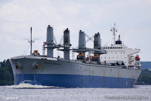
 Anda Raya
Current Status
Where is the vessel?
Anda Raya is currently in Near Norfolk, based on AIS data received about 574d ago.
Latest AIS update:
Current position: 36.80807° N, 76.28710° W (Near Norfolk)
Average speed (last 7 days): Loading…
Average speed (last 30 days): Loading…
Vessel profile: Anda Raya is a Bulk Carrier with dimensions 190m x 190m.
This page combines live AIS, route history, probable destination signals, nearby traffic, and port activity for practical vessel monitoring.
The current position of vessel Anda Raya is 36.80807 lat / -76.28710 lng. Updated: 2024-09-22 16:42:41 UTCNearest reference points:
- Near Norfolk
- Near Fentress
- Near Sewell's Point
Currently sailing under the flag of Panama ![]()
Anda Raya built in 1996 year
Deadweight:
49016 tDetails:
Live Vessel Anda Raya Analytics (details, animations, etc.)
Recent AIS points (UTC):
2024-09-22 16:42:41 UTC · 36.80807, -76.28710 · SOG 0 kn · COG 51°