 vesseltracker.com
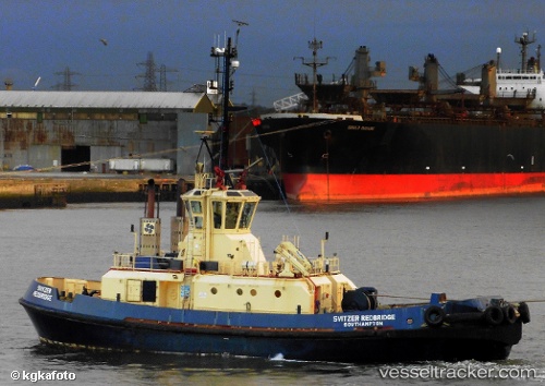
 PROCADIA TUG 38
Current Status
Where is the vessel?
PROCADIA TUG 38 is currently in 13 nm SW of Port de Boké, based on AIS data received about 1h ago.
Latest AIS update:
Current position: 10.36585° N, 14.87050° W (13 nm SW of Port de Boké)
Average speed (last 7 days): Loading…
Average speed (last 30 days): Loading…
Vessel profile: PROCADIA TUG 38 is a Tug with dimensions m x m.
This page combines live AIS, route history, probable destination signals, nearby traffic, and port activity for practical vessel monitoring.
The current position of vessel PROCADIA TUG 38 is 10.36585 lat / -14.87050 lng. Updated: 2026-04-09 01:23:51 UTCNearest reference points:
- Near Port de Boké
- 14 nm S of Port de Boké
- Near Dougoula
Currently sailing under the flag of Tanzania ![]()
Details:
Live Vessel PROCADIA TUG 38 Analytics (details, animations, etc.)
Recent AIS points (UTC):
2026-04-08 17:36:03 UTC · 10.68675, -14.61966 · SOG 4.5 kn · COG 200°2026-04-08 19:53:42 UTC · 10.54969, -14.70210 · SOG 4.2 kn · COG 210°
2026-04-09 00:15:07 UTC · 10.36835, -14.87428 · SOG 1.9 kn · COG 218°
2026-04-09 01:23:51 UTC · 10.36585, -14.87050 · SOG 3.5 kn · COG 17°