 vesseltracker.com
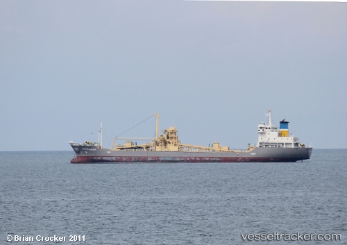
Martha Golden
Current StatusWhere is the vessel?
Martha Golden is currently in Near Belawan, based on AIS data received about 2h ago.
Latest AIS update:
Current position: 3.87833° N, 98.77500° E (Near Belawan)
Average speed (last 7 days): Loading…
Average speed (last 30 days): Loading…
Vessel profile: Martha Golden is a Cement Carrier with dimensions 19m x 117m.
This page combines live AIS, route history, probable destination signals, nearby traffic, and port activity for practical vessel monitoring.
The current position of vessel Martha Golden is 3.87833 lat / 98.77500 lng. Updated: 2026-04-05 22:59:39 UTCNearest reference points:
- 10 nm NE of Belawan
- Near Belawan
- 43 nm NE of Perbaungan
Details:
Live Vessel Martha Golden Analytics (details, animations, etc.)
Recent AIS points (UTC):
2026-04-05 11:02:37 UTC · 3.87833, 98.77333 · SOG 0 kn · COG -1°2026-04-05 17:23:41 UTC · 3.87833, 98.77500 · SOG 0 kn · COG -1°
2026-04-05 20:47:39 UTC · 3.87833, 98.77333 · SOG 0 kn · COG -1°
2026-04-05 22:59:39 UTC · 3.87833, 98.77500 · SOG 0 kn · COG -1°