 vesseltracker.com
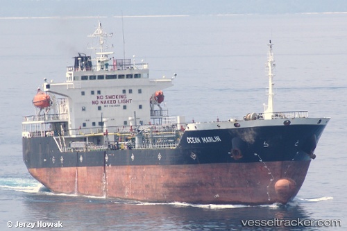
Fly Marlin
Current StatusWhere is the vessel?
Fly Marlin is currently in 48 nm NE of PENGERANG, based on AIS data received about 1h ago.
Latest AIS update:
Current position: 1.87333° N, 104.74833° E (48 nm NE of PENGERANG)
Average speed (last 7 days): Loading…
Average speed (last 30 days): Loading…
Vessel profile: Fly Marlin is a Oil Products Tanker with dimensions 22m x 120m.
This page combines live AIS, route history, probable destination signals, nearby traffic, and port activity for practical vessel monitoring.
The current position of vessel Fly Marlin is 1.87333 lat / 104.74833 lng. Updated: 2026-04-19 05:40:17 UTCNearest reference points:
- 45 nm NE of PENGERANG
- 51 nm NE of PENGERANG
- 53 nm NE of PENGERANG
Details:
Live Vessel Fly Marlin Analytics (details, animations, etc.)
Recent AIS points (UTC):
2026-04-18 23:54:21 UTC · 1.87519, 104.75018 · SOG 0 kn · COG 123°2026-04-19 02:15:16 UTC · 1.87470, 104.74935 · SOG 0.1 kn · COG 103°
2026-04-19 04:15:17 UTC · 1.87413, 104.74947 · SOG 0 kn · COG 75°
2026-04-19 05:40:17 UTC · 1.87333, 104.74833 · SOG 0 kn · COG -1°