 vesseltracker.com
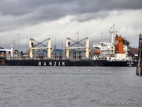
 AGORA
AGORA
Current Status
Where is the vessel?
AGORA is currently in Near Laurium (Lavrion), based on AIS data received less than 1h ago.
Latest AIS update:
Current position: 37.71685° N, 24.07271° E (Near Laurium (Lavrion))
Average speed (last 7 days): Loading…
Average speed (last 30 days): Loading…
Vessel profile: AGORA is a Bulk Carrier with dimensions m x m.
This page combines live AIS, route history, probable destination signals, nearby traffic, and port activity for practical vessel monitoring.
The current position of vessel AGORA is 37.71685 lat / 24.07271 lng. Updated: 2026-04-09 11:37:46 UTCNearest reference points:
- Near LAVRIO
- Near LAVRIO MARINA
- Near Kéa (Tzia)
Currently sailing under the flag of Guinea ![]()
Details:
Live Vessel AGORA Analytics (details, animations, etc.)
Recent AIS points (UTC):
2026-04-09 06:07:43 UTC · 37.71767, 24.07445 · SOG 0.1 kn · COG 3°2026-04-09 08:16:46 UTC · 37.71721, 24.07445 · SOG 0.1 kn · COG 7°
2026-04-09 09:55:47 UTC · 37.71729, 24.07364 · SOG 0.3 kn · COG 15°
2026-04-09 11:37:46 UTC · 37.71685, 24.07271 · SOG 0.5 kn · COG 358°