 vesseltracker.com
 CARBON
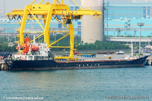
Current Status
Where is the vessel?
CARBON is currently in Near Khawr-Al-Amaya, based on AIS data received about 87d ago.
Latest AIS update:
Current position: 29.85210° N, 48.72333° E (Near Khawr-Al-Amaya)
Average speed (last 7 days): Loading…
Average speed (last 30 days): Loading…
Vessel profile: CARBON is a General Cargo with dimensions m x m.
This page combines live AIS, route history, probable destination signals, nearby traffic, and port activity for practical vessel monitoring.
The current position of vessel CARBON is 29.85210 lat / 48.72333 lng. Updated: 2026-01-21 19:20:58 UTCNearest reference points:
- 11 nm SW of Basrah Oil Terminal
- 15 nm S of Imam Khomeini Pt/ Mahshahr City
- Near Abadan
Currently sailing under the flag of Comoros ![]()
Details:
Live Vessel CARBON Analytics (details, animations, etc.)
Recent AIS points (UTC):
2026-01-21 19:20:58 UTC · 29.85210, 48.72333 · SOG 3 kn · COG -1°