 vesseltracker.com
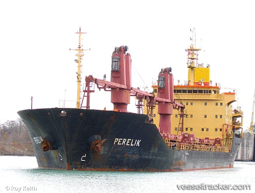
 GREENWAY II
Current Status
Where is the vessel?
GREENWAY II is currently in 292 nm SE of Masirah, based on AIS data received about 3h ago.
Latest AIS update:
Current position: 18.42619° N, 63.53211° E (292 nm SE of Masirah)
Average speed (last 7 days): Loading…
Average speed (last 30 days): Loading…
Vessel profile: GREENWAY II is a Bulk Carrier with dimensions m x m.
This page combines live AIS, route history, probable destination signals, nearby traffic, and port activity for practical vessel monitoring.
The current position of vessel GREENWAY II is 18.42619 lat / 63.53211 lng. Updated: 2026-03-28 20:09:28 UTCNearest reference points:
- 262 nm SE of SUR
- Open sea, approx. 402 nm off the nearest listed port
- Open sea, approx. 401 nm off the nearest listed port
Currently sailing under the flag of Saint Kitts and Nevis ![]()
Details:
Live Vessel GREENWAY II Analytics (details, animations, etc.)
Recent AIS points (UTC):
2026-03-28 02:29:24 UTC · 17.99594, 61.27222 · SOG 7 kn · COG -1°2026-03-28 16:56:49 UTC · 18.35196, 63.12661 · SOG 7.6 kn · COG 80°
2026-03-28 20:09:28 UTC · 18.42619, 63.53211 · SOG 7.2 kn · COG 79°
2026-03-28 20:09:28 UTC · 18.42619, 63.53211 · SOG 7.2 kn · COG 79°