 vesseltracker.com
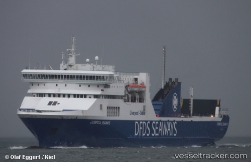
 PELAGOS
Current Status
Where is the vessel?
PELAGOS is currently in Near SAFAGA, based on AIS data received about 1h ago.
Latest AIS update:
Current position: 26.74333° N, 33.94667° E (Near SAFAGA)
Average speed (last 7 days): Loading…
Average speed (last 30 days): Loading…
Vessel profile: PELAGOS is a Ro-Ro/Passenger Ship with dimensions m x m.
This page combines live AIS, route history, probable destination signals, nearby traffic, and port activity for practical vessel monitoring.
The current position of vessel PELAGOS is 26.74333 lat / 33.94667 lng. Updated: 2026-04-13 00:01:35 UTCNearest reference points:
- Near Bur Safaga
- Near El-Guna (El Gouna)
- 19 nm SE of Zeit Bay
Currently sailing under the flag of Cyprus ![]()
Details:
Live Vessel PELAGOS Analytics (details, animations, etc.)
Recent AIS points (UTC):
2026-04-12 17:47:58 UTC · 27.18845, 34.90929 · SOG 13.2 kn · COG 235°2026-04-12 19:29:18 UTC · 26.98509, 34.55600 · SOG 13.3 kn · COG 243°
2026-04-12 21:25:34 UTC · 26.76500, 34.13833 · SOG 13 kn · COG -1°
2026-04-13 00:01:35 UTC · 26.74333, 33.94667 · SOG 0 kn · COG -1°