 vesseltracker.com
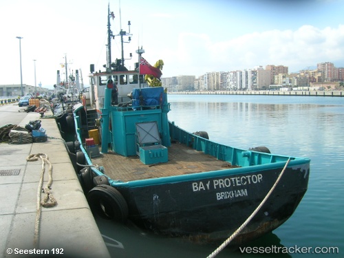
 Protector
Current Status
Where is the vessel?
Protector is currently in 10 nm NW of Bellingham, based on AIS data received less than 1h ago.
Latest AIS update:
Current position: 48.83228° N, 122.72126° W (10 nm NW of Bellingham)
Average speed (last 7 days): Loading…
Average speed (last 30 days): Loading…
Vessel profile: Protector is a Tug with dimensions 41m x 12m.
This page combines live AIS, route history, probable destination signals, nearby traffic, and port activity for practical vessel monitoring.
The current position of vessel Protector is 48.83228 lat / -122.72126 lng. Updated: 2026-04-08 02:05:09 UTCNearest reference points:
- Near White Rock
- Near Bellingham
- Near ORCAS
Currently sailing under the flag of USA ![]()
Protector built in 1996 year
Deadweight:
470 tDetails:
Live Vessel Protector Analytics (details, animations, etc.)
Recent AIS points (UTC):
2026-04-07 20:03:54 UTC · 48.86285, -122.76398 · SOG 0.5 kn · COG 210°2026-04-07 22:10:01 UTC · 48.79988, -122.72061 · SOG 0.1 kn · COG 330°
2026-04-07 23:45:59 UTC · 48.82670, -122.72079 · SOG 0.1 kn · COG 288°
2026-04-08 02:05:09 UTC · 48.83228, -122.72126 · SOG 0 kn · COG 175°