 vesseltracker.com
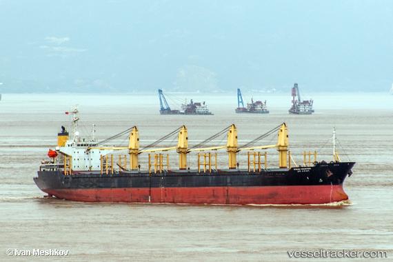
 LUCKY STAR
Current Status
Where is the vessel?
LUCKY STAR is currently in 44 nm SE of Ulamona, based on AIS data received about 1h ago.
Latest AIS update:
Current position: 5.54134° S, 151.73827° E (44 nm SE of Ulamona)
Average speed (last 7 days): Loading…
Average speed (last 30 days): Loading…
Vessel profile: LUCKY STAR is a Bulk Carrier with dimensions m x m.
This page combines live AIS, route history, probable destination signals, nearby traffic, and port activity for practical vessel monitoring.
The current position of vessel LUCKY STAR is -5.54134 lat / 151.73827 lng. Updated: 2026-04-19 19:28:26 UTCNearest reference points:
- 15 nm SW of Lambom Island
- Near Rabaul
Currently sailing under the flag of Palau (Republic of) ![]()
LUCKY STAR built in 1996 year
Deadweight:
28387 tDetails:
Live Vessel LUCKY STAR Analytics (details, animations, etc.)
Recent AIS points (UTC):
2026-04-19 14:49:19 UTC · -5.54028, 151.73540 · SOG 0.2 kn · COG 103°2026-04-19 16:22:20 UTC · -5.53963, 151.73570 · SOG 0 kn · COG 132°
2026-04-19 17:16:24 UTC · -5.54024, 151.73621 · SOG 0.1 kn · COG 119°
2026-04-19 19:28:26 UTC · -5.54134, 151.73827 · SOG 0.2 kn · COG 283°