 vesseltracker.com
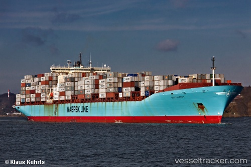
 MSC VILDA
Current Status
Where is the vessel?
MSC VILDA is currently in Near Tema, based on AIS data received about 2h ago.
Latest AIS update:
Current position: 5.54072° N, 0.07045° E (Near Tema)
Average speed (last 7 days): Loading…
Average speed (last 30 days): Loading…
Vessel profile: MSC VILDA is a Container Ship with dimensions 42m x 347m.
This page combines live AIS, route history, probable destination signals, nearby traffic, and port activity for practical vessel monitoring.
The current position of vessel MSC VILDA is 5.54072 lat / 0.07045 lng. Updated: 2026-03-27 04:03:58 UTCNearest reference points:
- Near Ablogamé
- Near Sekondi
- Near Takoradi
Currently sailing under the flag of Liberia ![]()
MSC VILDA built in 1998 year
Deadweight:
110387 tDetails:
Live Vessel MSC VILDA Analytics (details, animations, etc.)
Recent AIS points (UTC):
2026-03-26 21:55:00 UTC · 5.54145, 0.06931 · SOG 0 kn · COG 197°2026-03-27 00:01:00 UTC · 5.54151, 0.06899 · SOG 0 kn · COG 186°
2026-03-27 02:22:03 UTC · 5.54024, 0.07065 · SOG 0 kn · COG 248°
2026-03-27 04:03:58 UTC · 5.54072, 0.07045 · SOG 0.1 kn · COG 234°