 vesseltracker.com
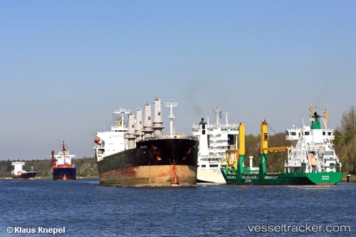
 Bos Angel
Current Status
Where is the vessel?
Bos Angel is currently in Near Hulaylah Terminal, based on AIS data received less than 1h ago.
Latest AIS update:
Current position: 26.04987° N, 55.95382° E (Near Hulaylah Terminal)
Average speed (last 7 days): Loading…
Average speed (last 30 days): Loading…
Vessel profile: Bos Angel is a Bulk Carrier with dimensions 185m x 23m.
This page combines live AIS, route history, probable destination signals, nearby traffic, and port activity for practical vessel monitoring.
The current position of vessel Bos Angel is 26.04987 lat / 55.95382 lng. Updated: 2026-04-17 00:25:56 UTCNearest reference points:
- Near Hulaylah Terminal
- Near Stevin Rock
- Near Rak Maritime City
Currently sailing under the flag of St Vincent Grenadines ![]()
Bos Angel built in 1996 year
Deadweight:
30855 tDetails:
Live Vessel Bos Angel Analytics (details, animations, etc.)
Recent AIS points (UTC):
2026-04-16 15:48:33 UTC · 26.04886, 55.95451 · SOG 0.6 kn · COG 257°2026-04-16 20:22:54 UTC · 26.04988, 55.95280 · SOG 0.1 kn · COG 164°
2026-04-16 21:19:55 UTC · 26.05002, 55.95333 · SOG 0 kn · COG 194°
2026-04-17 00:25:56 UTC · 26.04987, 55.95382 · SOG 0.6 kn · COG 213°