 vesseltracker.com
Naviga
Current StatusWhere is the vessel?
Naviga is currently in 251 nm SE of Rosia Montana, based on AIS data received about 206d ago.
Latest AIS update:
Current position: 48.47809° S, 28.40583° E (251 nm SE of Rosia Montana)
Average speed (last 7 days): Loading…
Average speed (last 30 days): Loading…
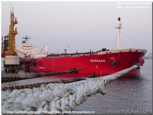
Vessel profile: Naviga is a Crude Oil Tanker with dimensions 48m x 274m.
This page combines live AIS, route history, probable destination signals, nearby traffic, and port activity for practical vessel monitoring.
The current position of vessel Naviga is -48.47809 lat / 28.40583 lng. Updated: 2025-09-18 21:25:51 UTCDetails:
Live Vessel Naviga Analytics (details, animations, etc.)
Recent AIS points (UTC):
2025-09-18 21:25:51 UTC · -48.47809, 28.40583 · SOG 38.6 kn · COG 295°