 vesseltracker.com
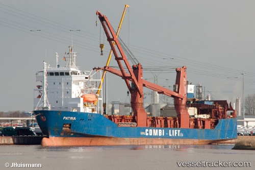
Patria
Current StatusWhere is the vessel?
Patria is currently in Near Douala, based on AIS data received less than 1h ago.
Latest AIS update:
Current position: 3.95720° N, 9.58425° E (Near Douala)
Average speed (last 7 days): Loading…
Average speed (last 30 days): Loading…
Vessel profile: Patria is a Ro Ro Cargo Ship with dimensions 18m x 101m.
This page combines live AIS, route history, probable destination signals, nearby traffic, and port activity for practical vessel monitoring.
The current position of vessel Patria is 3.95720 lat / 9.58425 lng. Updated: 2026-04-18 19:24:20 UTCNearest reference points:
- Near Victoria
- Near Moudi Terminal
- Near Calabar
Details:
Live Vessel Patria Analytics (details, animations, etc.)
Recent AIS points (UTC):
2026-04-18 13:19:33 UTC · 4.04397, 9.68068 · SOG 0 kn · COG 54°2026-04-18 15:28:17 UTC · 4.04397, 9.68068 · SOG 0 kn · COG 54°
2026-04-18 15:28:17 UTC · 4.04397, 9.68068 · SOG 0 kn · COG 54°
2026-04-18 19:24:20 UTC · 3.95720, 9.58425 · SOG 4.2 kn · COG 219°