 vesseltracker.com
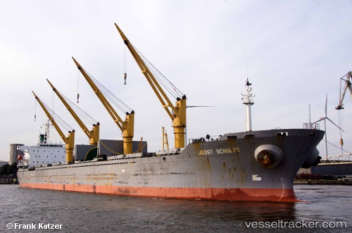
Kiana
Current StatusWhere is the vessel?
Kiana is currently in 17 nm NE of Abu al Bukhoosh, based on AIS data received about 1h ago.
Latest AIS update:
Current position: 25.72167° N, 53.31833° E (17 nm NE of Abu al Bukhoosh)
Average speed (last 7 days): Loading…
Average speed (last 30 days): Loading…
Vessel profile: Kiana is a Bulk Carrier with dimensions 30m x 188m.
This page combines live AIS, route history, probable destination signals, nearby traffic, and port activity for practical vessel monitoring.
The current position of vessel Kiana is 25.72167 lat / 53.31833 lng. Updated: 2026-03-30 12:19:44 UTCNearest reference points:
- 21 nm NE of Halul Island
- Near Das Island
- Near Jazireh-Ye Lavan
Details:
Live Vessel Kiana Analytics (details, animations, etc.)
Recent AIS points (UTC):
2026-03-30 05:22:37 UTC · 25.71901, 53.32039 · SOG 0 kn · COG 325°2026-03-30 07:22:37 UTC · 25.71891, 53.31907 · SOG 0.2 kn · COG 14°
2026-03-30 10:01:57 UTC · 25.72286, 53.31840 · SOG 1.5 kn · COG 141°
2026-03-30 12:19:44 UTC · 25.72167, 53.31833 · SOG 0 kn · COG -1°