 vesseltracker.com
 SEASTAR 1
Current Status
Where is the vessel?
SEASTAR 1 is currently in Near As Salif, based on AIS data received less than 1h ago.
Latest AIS update:
Current position: 15.28318° N, 42.66172° E (Near As Salif)
Average speed (last 7 days): Loading…
Average speed (last 30 days): Loading…
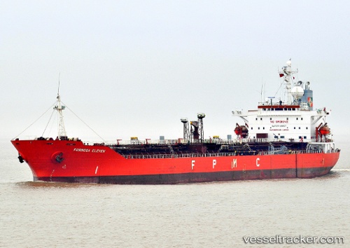
Vessel profile: SEASTAR 1 is a Chemical Tanker with dimensions 30m x 175m.
This page combines live AIS, route history, probable destination signals, nearby traffic, and port activity for practical vessel monitoring.
The current position of vessel SEASTAR 1 is 15.28318 lat / 42.66172 lng. Updated: 2026-04-08 13:39:27 UTCNearest reference points:
- 81 nm NW of As Salif
- Near Jazan Economic City
- 92 nm SW of Al Qahmah
Currently sailing under the flag of Panama ![]()
SEASTAR 1 built in 1998 year
Deadweight:
36234 tDetails:
Live Vessel SEASTAR 1 Analytics (details, animations, etc.)
Recent AIS points (UTC):
2026-04-08 04:10:16 UTC · 15.28329, 42.66177 · SOG 0 kn · COG 288°2026-04-08 09:25:29 UTC · 15.28384, 42.66183 · SOG 0 kn · COG 270°
2026-04-08 09:25:29 UTC · 15.28384, 42.66183 · SOG 0 kn · COG 270°
2026-04-08 13:39:27 UTC · 15.28318, 42.66172 · SOG 0 kn · COG -1°