 vesseltracker.com
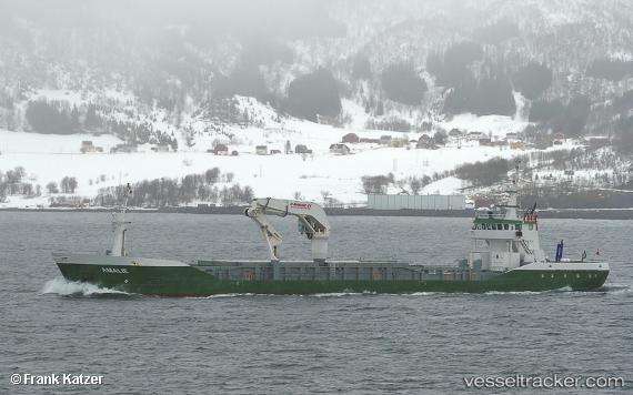
 AMALIE
Current Status
Where is the vessel?
AMALIE is currently in Near TANANGER, based on AIS data received less than 1h ago.
Latest AIS update:
Current position: 58.92457° N, 5.59873° E (Near TANANGER)
Average speed (last 7 days): Loading…
Average speed (last 30 days): Loading…
Vessel profile: AMALIE is a General Cargo Ship with dimensions m x m.
This page combines live AIS, route history, probable destination signals, nearby traffic, and port activity for practical vessel monitoring.
The current position of vessel AMALIE is 58.92457 lat / 5.59873 lng. Updated: 2026-04-18 06:15:51 UTCNearest reference points:
- Near Lura
- Near HUSOYA
- Near Egersund
Currently sailing under the flag of Denmark (DIS) ![]()
AMALIE built in 1997 year
Deadweight:
2035 tDetails:
Live Vessel AMALIE Analytics (details, animations, etc.)
Recent AIS points (UTC):
2026-04-18 00:01:08 UTC · 59.41420, 5.23980 · SOG 10.6 kn · COG 141°2026-04-18 02:30:20 UTC · 59.05930, 5.53133 · SOG 9.2 kn · COG 170°
2026-04-18 04:18:47 UTC · 58.92453, 5.59866 · SOG 0 kn · COG 277°
2026-04-18 06:15:51 UTC · 58.92457, 5.59873 · SOG 0 kn · COG 273°