 vesseltracker.com
 IFAMA MAS
Current Status
Where is the vessel?
IFAMA MAS is currently in Near Belawan, based on AIS data received about 2h ago.
Latest AIS update:
Current position: 3.79270° N, 98.71411° E (Near Belawan)
Average speed (last 7 days): Loading…
Average speed (last 30 days): Loading…
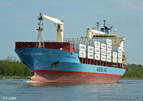
Vessel profile: IFAMA MAS is a Container Ship with dimensions 155m x 25m.
This page combines live AIS, route history, probable destination signals, nearby traffic, and port activity for practical vessel monitoring.
The current position of vessel IFAMA MAS is 3.79270 lat / 98.71411 lng. Updated: 2026-03-26 15:30:09 UTCNearest reference points:
- Near Belawan
- 10 nm NE of Belawan
- 43 nm NE of Perbaungan
Currently sailing under the flag of Indonesia ![]()
IFAMA MAS built in 1998 year
Deadweight:
17375 tDetails:
Live Vessel IFAMA MAS Analytics (details, animations, etc.)
Recent AIS points (UTC):
2026-03-26 10:23:03 UTC · 3.81840, 98.73028 · SOG 7.6 kn · COG 201°2026-03-26 11:51:09 UTC · 3.79270, 98.71406 · SOG 0 kn · COG 226°
2026-03-26 14:00:17 UTC · 3.79274, 98.71402 · SOG 0 kn · COG 226°
2026-03-26 15:30:09 UTC · 3.79270, 98.71411 · SOG 0 kn · COG 226°