 vesseltracker.com
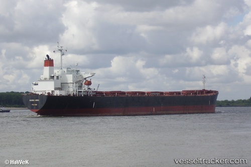
 ANGEL FALLS
Current Status
Where is the vessel?
ANGEL FALLS is currently in 93 nm S of Galeota Point, based on AIS data received less than 1h ago.
Latest AIS update:
Current position: 8.59662° N, 60.81514° W (93 nm S of Galeota Point)
Average speed (last 7 days): Loading…
Average speed (last 30 days): Loading…
Vessel profile: ANGEL FALLS is a Bulk Carrier with dimensions m x m.
This page combines live AIS, route history, probable destination signals, nearby traffic, and port activity for practical vessel monitoring.
The current position of vessel ANGEL FALLS is 8.59662 lat / -60.81514 lng. Updated: 2026-04-22 18:09:45 UTCNearest reference points:
- 16 nm E of Galeota Point
- Near POINT LISAS
- Near Caroni
Details:
Live Vessel ANGEL FALLS Analytics (details, animations, etc.)
Recent AIS points (UTC):
2026-04-22 14:03:07 UTC · 8.53566, -61.50321 · SOG 10.3 kn · COG 91°2026-04-22 15:23:00 UTC · 8.48761, -61.30631 · SOG 10.5 kn · COG 115°
2026-04-22 16:12:55 UTC · 8.50151, -61.16019 · SOG 11.2 kn · COG 109°
2026-04-22 18:09:45 UTC · 8.59662, -60.81514 · SOG 12.8 kn · COG 103°