 vesseltracker.com
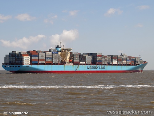
Skagen Maersk
Current StatusWhere is the vessel?
Skagen Maersk is currently in 264 nm SW of Harriet Harbour, based on AIS data received about 8h ago.
Latest AIS update:
Current position: 50.29105° N, 137.66478° W (264 nm SW of Harriet Harbour)
Average speed (last 7 days): Loading…
Average speed (last 30 days): Loading…
Vessel profile: Skagen Maersk is a Container Ship with dimensions 43m x 347m.
This page combines live AIS, route history, probable destination signals, nearby traffic, and port activity for practical vessel monitoring.
The current position of vessel Skagen Maersk is 50.29105 lat / -137.66478 lng. Updated: 2026-04-10 07:34:41 UTCNearest reference points:
- 249 nm NE of Lukovica pri Domzalah
Details:
Live Vessel Skagen Maersk Analytics (details, animations, etc.)
Recent AIS points (UTC):
2026-04-10 01:35:13 UTC · 49.61377, -135.66624 · SOG 14.3 kn · COG 300°2026-04-10 03:47:08 UTC · 49.86548, -136.38814 · SOG 14.3 kn · COG 298°
2026-04-10 06:02:28 UTC · 50.11766, -137.14024 · SOG 14.8 kn · COG 298°
2026-04-10 07:34:41 UTC · 50.29105, -137.66478 · SOG 14.6 kn · COG 298°