 vesseltracker.com
 BLUE BEAD
Current Status
Where is the vessel?
BLUE BEAD is currently in 20 nm NE of Al Gurdagah, based on AIS data received less than 1h ago.
Latest AIS update:
Current position: 27.57526° N, 33.98619° E (20 nm NE of Al Gurdagah)
Average speed (last 7 days): Loading…
Average speed (last 30 days): Loading…
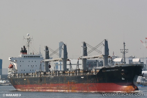
Vessel profile: BLUE BEAD is a Bulk Carrier with dimensions m x m.
This page combines live AIS, route history, probable destination signals, nearby traffic, and port activity for practical vessel monitoring.
The current position of vessel BLUE BEAD is 27.57526 lat / 33.98619 lng. Updated: 2026-04-19 07:24:43 UTCNearest reference points:
- 19 nm SE of Zeit Bay
- Near El-Guna (El Gouna)
- Near Bur Safaga
Currently sailing under the flag of San Marino ![]()
Details:
Live Vessel BLUE BEAD Analytics (details, animations, etc.)
Recent AIS points (UTC):
2026-04-19 01:44:49 UTC · 28.25333, 33.23000 · SOG 10 kn · COG -1°2026-04-19 03:54:14 UTC · 27.98869, 33.52440 · SOG 10 kn · COG 134°
2026-04-19 05:54:43 UTC · 27.75779, 33.79178 · SOG 9.5 kn · COG 140°
2026-04-19 07:24:43 UTC · 27.57526, 33.98619 · SOG 10.8 kn · COG 137°