 vesseltracker.com
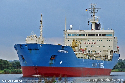
Gema
Current StatusWhere is the vessel?
Gema is currently in 14 nm N of Berja, based on AIS data received about 202d ago.
Latest AIS update:
Current position: 37.07703° N, 2.94458° E (14 nm N of Berja)
Average speed (last 7 days): Loading…
Average speed (last 30 days): Loading…
Vessel profile: Gema is a Crude Oil Tanker with dimensions 25m x 158m.
This page combines live AIS, route history, probable destination signals, nearby traffic, and port activity for practical vessel monitoring.
The current position of vessel Gema is 37.07703 lat / 2.94458 lng. Updated: 2025-09-18 09:16:58 UTCNearest reference points:
- 16 nm NE of Berja
- Near Algiers
- 17 nm S of Albanchez
Details:
Live Vessel Gema Analytics (details, animations, etc.)
Recent AIS points (UTC):
2025-09-18 09:16:58 UTC · 37.07703, 2.94458 · SOG 10.8 kn · COG 77°