 vesseltracker.com
Hari Anand
Current StatusWhere is the vessel?
Hari Anand is currently in Near Paradip, based on AIS data received about 1h ago.
Latest AIS update:
Current position: 20.15908° N, 86.79542° E (Near Paradip)
Average speed (last 7 days): Loading…
Average speed (last 30 days): Loading…
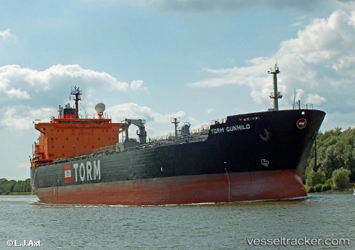
Vessel profile: Hari Anand is a Oil Products Tanker with dimensions 32m x 180m.
This page combines live AIS, route history, probable destination signals, nearby traffic, and port activity for practical vessel monitoring.
The current position of vessel Hari Anand is 20.15908 lat / 86.79542 lng. Updated: 2026-04-17 14:07:07 UTCNearest reference points:
- Near Paradip
- Near Paradip Garh
- 45 nm S of Contai
Details:
Live Vessel Hari Anand Analytics (details, animations, etc.)
Recent AIS points (UTC):
2026-04-17 07:25:07 UTC · 20.15845, 86.79580 · SOG 0.2 kn · COG 252°2026-04-17 10:01:05 UTC · 20.15900, 86.79550 · SOG 0.2 kn · COG 231°
2026-04-17 11:52:07 UTC · 20.15928, 86.79525 · SOG 0.1 kn · COG 222°
2026-04-17 14:07:07 UTC · 20.15908, 86.79542 · SOG 0.3 kn · COG 227°