 vesseltracker.com
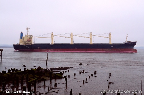
 CAPTAIN RABIE
Current Status
Where is the vessel?
CAPTAIN RABIE is currently in 28 nm N of Cide, based on AIS data received less than 1h ago.
Latest AIS update:
Current position: 42.36367° N, 32.95843° E (28 nm N of Cide)
Average speed (last 7 days): Loading…
Average speed (last 30 days): Loading…
Vessel profile: CAPTAIN RABIE is a Bulk Carrier with dimensions m x m.
This page combines live AIS, route history, probable destination signals, nearby traffic, and port activity for practical vessel monitoring.
The current position of vessel CAPTAIN RABIE is 42.36367 lat / 32.95843 lng. Updated: 2026-04-21 05:58:35 UTCNearest reference points:
- 27 nm NW of INEBOLU
- Near Cide
- 18 nm NW of INEBOLU
Currently sailing under the flag of Saint Kitts and Nevis ![]()
Details:
Live Vessel CAPTAIN RABIE Analytics (details, animations, etc.)
Recent AIS points (UTC):
2026-04-21 02:07:43 UTC · 42.07497, 31.88520 · SOG 13.1 kn · COG 68°2026-04-21 04:04:35 UTC · 42.22272, 32.42748 · SOG 13 kn · COG 67°
2026-04-21 04:43:56 UTC · 42.27335, 32.60879 · SOG 13.1 kn · COG 70°
2026-04-21 05:58:35 UTC · 42.36367, 32.95843 · SOG 13.1 kn · COG 68°