 vesseltracker.com
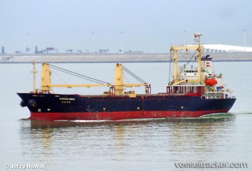
Orange Dream
Current StatusWhere is the vessel?
Orange Dream is currently in Near Rabaul, based on AIS data received about 1h ago.
Latest AIS update:
Current position: 4.20211° S, 152.16708° E (Near Rabaul)
Average speed (last 7 days): Loading…
Average speed (last 30 days): Loading…
Vessel profile: Orange Dream is a General Cargo Ship with dimensions 19m x 106m.
This page combines live AIS, route history, probable destination signals, nearby traffic, and port activity for practical vessel monitoring.
The current position of vessel Orange Dream is -4.20211 lat / 152.16708 lng. Updated: 2026-04-13 05:23:54 UTCNearest reference points:
- Near Rabaul
- 15 nm SW of Lambom Island
Details:
Live Vessel Orange Dream Analytics (details, animations, etc.)
Recent AIS points (UTC):
2026-04-12 23:08:43 UTC · -4.20212, 152.16710 · SOG 0 kn · COG 246°2026-04-13 01:08:49 UTC · -4.20213, 152.16708 · SOG 0 kn · COG 246°
2026-04-13 03:05:49 UTC · -4.20213, 152.16708 · SOG 0 kn · COG 246°
2026-04-13 05:23:54 UTC · -4.20211, 152.16708 · SOG 0 kn · COG 246°