 vesseltracker.com
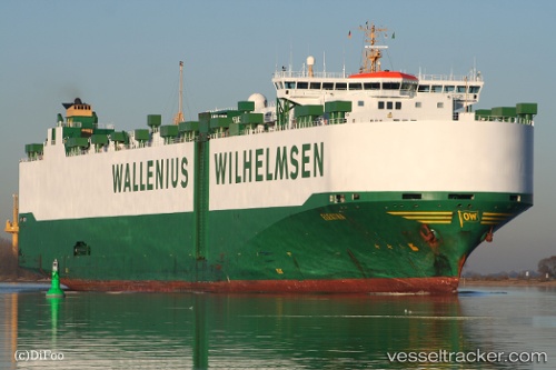
 ELEKTRA
Current Status
Where is the vessel?
ELEKTRA is currently in 60 nm S of PASITO BLANCO, based on AIS data received about 1h ago.
Latest AIS update:
Current position: 26.74510° N, 15.52488° W (60 nm S of PASITO BLANCO)
Average speed (last 7 days): Loading…
Average speed (last 30 days): Loading…
Vessel profile: ELEKTRA is a Vehicles Carrier with dimensions m x m.
This page combines live AIS, route history, probable destination signals, nearby traffic, and port activity for practical vessel monitoring.
The current position of vessel ELEKTRA is 26.74510 lat / -15.52488 lng. Updated: 2026-03-31 23:41:18 UTCNearest reference points:
- 33 nm SE of San Agustin
- 22 nm S of San Agustin
- Near TALIARTE
Currently sailing under the flag of Norway ![]()
Details:
Live Vessel ELEKTRA Analytics (details, animations, etc.)
Recent AIS points (UTC):
2026-03-31 18:10:55 UTC · 25.45445, -16.10893 · SOG 15.1 kn · COG 21°2026-03-31 19:49:42 UTC · 25.84217, -15.93654 · SOG 14.9 kn · COG 23°
2026-03-31 21:46:30 UTC · 26.29789, -15.72647 · SOG 15.4 kn · COG 20°
2026-03-31 23:41:18 UTC · 26.74510, -15.52488 · SOG 15.1 kn · COG 23°