 vesseltracker.com
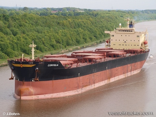
 HAINAN ISLAND
Current Status
Where is the vessel?
HAINAN ISLAND is currently in Near DONGHAE, based on AIS data received less than 1h ago.
Latest AIS update:
Current position: 37.51521° N, 129.16920° E (Near DONGHAE)
Average speed (last 7 days): Loading…
Average speed (last 30 days): Loading…
Vessel profile: HAINAN ISLAND is a Bulk Carrier with dimensions m x m.
This page combines live AIS, route history, probable destination signals, nearby traffic, and port activity for practical vessel monitoring.
The current position of vessel HAINAN ISLAND is 37.51521 lat / 129.16920 lng. Updated: 2026-04-20 04:12:25 UTCNearest reference points:
- Near DONGHAE
- 16 nm N of Yeongyang-gun
- 23 nm SE of Yeongyang-gun
Currently sailing under the flag of Panama ![]()
HAINAN ISLAND built in 1999 year
Deadweight:
73035 tDetails:
Live Vessel HAINAN ISLAND Analytics (details, animations, etc.)
Recent AIS points (UTC):
2026-04-20 00:12:21 UTC · 37.51407, 129.16997 · SOG 0 kn · COG 74°2026-04-20 02:00:23 UTC · 37.51531, 129.16949 · SOG 0 kn · COG 102°
2026-04-20 02:18:20 UTC · 37.51516, 129.16951 · SOG 0 kn · COG 109°
2026-04-20 04:12:25 UTC · 37.51521, 129.16920 · SOG 0 kn · COG 99°