 vesseltracker.com
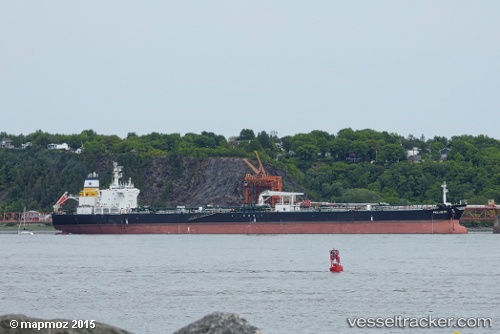
 VULA
VULA
Current Status
Where is the vessel?
VULA is currently in 166 nm NW of San Antonio de Palé, based on AIS data received about 5d ago.
Latest AIS update:
Current position: 0.47500° N, 3.56875° E (166 nm NW of San Antonio de Palé)
Average speed (last 7 days): Loading…
Average speed (last 30 days): Loading…
Vessel profile: VULA is a Crude Oil Tanker with dimensions 36m x 224m.
This page combines live AIS, route history, probable destination signals, nearby traffic, and port activity for practical vessel monitoring.
The current position of vessel VULA is 0.47500 lat / 3.56875 lng. Updated: 2026-03-30 22:26:37 UTCNearest reference points:
- 138 nm E of SAO LUIS
Currently sailing under the flag of Liberia ![]()
VULA built in 1999 year
Deadweight:
74999 tDetails:
Live Vessel VULA Analytics (details, animations, etc.)
Recent AIS points (UTC):
2026-03-30 22:26:37 UTC · 0.47500, 3.56875 · SOG 6.8 kn · COG 1°2026-03-30 22:26:37 UTC · 0.47500, 3.56875 · SOG 6.8 kn · COG 1°
2026-03-30 22:26:37 UTC · 0.47500, 3.56875 · SOG 6.8 kn · COG 1°