 vesseltracker.com
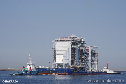
Dokai
Current StatusWhere is the vessel?
Dokai is currently in 12 nm S of Suzuka, based on AIS data received about 1d ago.
Latest AIS update:
Current position: 34.67443° N, 136.54366° E (12 nm S of Suzuka)
Average speed (last 7 days): Loading…
Average speed (last 30 days): Loading…
Vessel profile: Dokai is a Tug with dimensions 10m x 40m.
This page combines live AIS, route history, probable destination signals, nearby traffic, and port activity for practical vessel monitoring.
The current position of vessel Dokai is 34.67443 lat / 136.54366 lng. Updated: 2026-03-29 03:20:49 UTCNearest reference points:
- Near TOBA
- Near Yokkaichi
- Near Mihama
Details:
Live Vessel Dokai Analytics (details, animations, etc.)
Recent AIS points (UTC):
2026-03-29 01:29:18 UTC · 34.67444, 136.54359 · SOG 0 kn · COG 124°2026-03-29 03:20:49 UTC · 34.67443, 136.54366 · SOG 0 kn · COG -1°
2026-03-29 03:20:49 UTC · 34.67443, 136.54366 · SOG 0 kn · COG -1°
2026-03-29 03:20:49 UTC · 34.67443, 136.54366 · SOG 0 kn · COG -1°