 vesseltracker.com
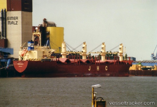
 GLAMOR
Current Status
Where is the vessel?
GLAMOR is currently in Near JAIGAD, based on AIS data received about 1h ago.
Latest AIS update:
Current position: 17.28737° N, 73.23078° E (Near JAIGAD)
Average speed (last 7 days): Loading…
Average speed (last 30 days): Loading…
Vessel profile: GLAMOR is a General Cargo Ship with dimensions 154m x 154m.
This page combines live AIS, route history, probable destination signals, nearby traffic, and port activity for practical vessel monitoring.
The current position of vessel GLAMOR is 17.28737 lat / 73.23078 lng. Updated: 2026-04-15 19:17:52 UTCNearest reference points:
- Near JAIGAD
- 49 nm W of Pernem
- Near Mumbai
Currently sailing under the flag of St Vincent and Grenadines ![]()
GLAMOR built in 1998 year
Deadweight:
24073 tDetails:
Live Vessel GLAMOR Analytics (details, animations, etc.)
Recent AIS points (UTC):
2026-04-15 13:22:05 UTC · 17.28735, 73.23077 · SOG 0 kn · COG -1°2026-04-15 15:29:49 UTC · 17.28737, 73.23077 · SOG 0 kn · COG 276°
2026-04-15 16:41:53 UTC · 17.28740, 73.23078 · SOG 0 kn · COG 276°
2026-04-15 19:17:52 UTC · 17.28737, 73.23078 · SOG 0 kn · COG 276°