 vesseltracker.com
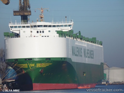
 MANON
MANON
Current Status
Where is the vessel?
MANON is currently in 44 nm N of Utiel, based on AIS data received less than 1h ago.
Latest AIS update:
Current position: 40.28450° N, 11.39429° W (44 nm N of Utiel)
Average speed (last 7 days): Loading…
Average speed (last 30 days): Loading…
Vessel profile: MANON is a Vehicles Carrier with dimensions m x m.
This page combines live AIS, route history, probable destination signals, nearby traffic, and port activity for practical vessel monitoring.
The current position of vessel MANON is 40.28450 lat / -11.39429 lng. Updated: 2026-04-18 07:45:57 UTCNearest reference points:
- 43 nm NW of Utiel
- 25 nm S of Bear River City
- 20 nm SE of Bear River City
Currently sailing under the flag of Norway ![]()
Details:
Live Vessel MANON Analytics (details, animations, etc.)
Recent AIS points (UTC):
2026-04-18 01:23:38 UTC · 38.63726, -11.89911 · SOG 15.5 kn · COG 14°2026-04-18 03:30:32 UTC · 39.18333, -11.73167 · SOG 16 kn · COG -1°
2026-04-18 05:48:39 UTC · 39.77833, -11.54833 · SOG 16 kn · COG -1°
2026-04-18 07:45:57 UTC · 40.28450, -11.39429 · SOG 15.4 kn · COG 14°