 vesseltracker.com
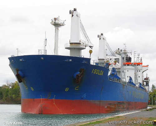
 HIZIR REIS
Current Status
Where is the vessel?
HIZIR REIS is currently in Near Porto Di Brindisi, based on AIS data received about 2h ago.
Latest AIS update:
Current position: 40.64981° N, 17.96894° E (Near Porto Di Brindisi)
Average speed (last 7 days): Loading…
Average speed (last 30 days): Loading…
Vessel profile: HIZIR REIS is a Bulk Carrier with dimensions m x m.
This page combines live AIS, route history, probable destination signals, nearby traffic, and port activity for practical vessel monitoring.
The current position of vessel HIZIR REIS is 40.64981 lat / 17.96894 lng. Updated: 2026-04-17 05:33:09 UTCNearest reference points:
- Near Porto Di Brindisi
- Near Monopoli
- 11 nm S of Leuca
Currently sailing under the flag of Tuvalu ![]()
Details:
Live Vessel HIZIR REIS Analytics (details, animations, etc.)
Recent AIS points (UTC):
2026-04-16 23:24:06 UTC · 40.64977, 17.96890 · SOG 0 kn · COG 163°2026-04-17 02:36:05 UTC · 40.64986, 17.96893 · SOG 0 kn · COG 163°
2026-04-17 03:42:08 UTC · 40.64976, 17.96889 · SOG 0 kn · COG 163°
2026-04-17 05:33:09 UTC · 40.64981, 17.96894 · SOG 0 kn · COG 163°