 vesseltracker.com
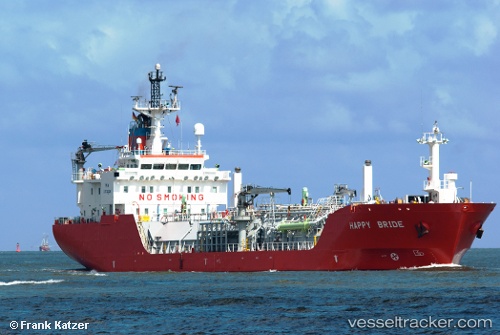
 GAS HOUSTON
Current Status
Where is the vessel?
GAS HOUSTON is currently in Near Tarabulus, based on AIS data received about 1h ago.
Latest AIS update:
Current position: 32.90195° N, 13.19908° E (Near Tarabulus)
Average speed (last 7 days): Loading…
Average speed (last 30 days): Loading…
Vessel profile: GAS HOUSTON is a LPG Tanker with dimensions 107m x 16m.
This page combines live AIS, route history, probable destination signals, nearby traffic, and port activity for practical vessel monitoring.
The current position of vessel GAS HOUSTON is 32.90195 lat / 13.19908 lng. Updated: 2026-04-01 09:23:38 UTCNearest reference points:
- 22 nm NW of Tarabulus
- 37 nm E of Didon
- Near MISURATA
Currently sailing under the flag of Panama ![]()
GAS HOUSTON built in 1999 year
Deadweight:
4999 tDetails:
Live Vessel GAS HOUSTON Analytics (details, animations, etc.)
Recent AIS points (UTC):
2026-04-01 04:11:35 UTC · 32.90196, 13.19908 · SOG 0 kn · COG 338°2026-04-01 05:20:35 UTC · 32.90196, 13.19908 · SOG 0 kn · COG 339°
2026-04-01 07:53:37 UTC · 32.90197, 13.19907 · SOG 0 kn · COG 339°
2026-04-01 09:23:38 UTC · 32.90195, 13.19908 · SOG 0 kn · COG 339°