 vesseltracker.com
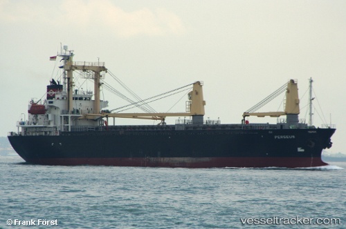
 LORD H
Current Status
Where is the vessel?
LORD H is currently in 15 nm N of Rozi, based on AIS data received less than 1h ago.
Latest AIS update:
Current position: 22.82014° N, 70.05997° E (15 nm N of Rozi)
Average speed (last 7 days): Loading…
Average speed (last 30 days): Loading…
Vessel profile: LORD H is a Cargo with dimensions m x m.
This page combines live AIS, route history, probable destination signals, nearby traffic, and port activity for practical vessel monitoring.
The current position of vessel LORD H is 22.82014 lat / 70.05997 lng. Updated: 2026-04-17 00:07:35 UTCNearest reference points:
- 15 nm N of Rozi
- 12 nm N of Rozi
- Near Kandla
Currently sailing under the flag of Palau ![]()
Details:
Live Vessel LORD H Analytics (details, animations, etc.)
Recent AIS points (UTC):
2026-04-16 15:53:45 UTC · 22.82116, 70.06221 · SOG 0.8 kn · COG 234°2026-04-16 19:37:41 UTC · 22.82110, 70.06218 · SOG 0.6 kn · COG -1°
2026-04-16 22:06:08 UTC · 22.82023, 70.06161 · SOG 0.1 kn · COG -1°
2026-04-17 00:07:35 UTC · 22.82014, 70.05997 · SOG 0 kn · COG -1°