 vesseltracker.com
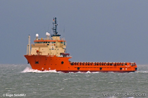
 OCEAN SURVEYOR
Current Status
Where is the vessel?
OCEAN SURVEYOR is currently in 230 nm NE of Barora Ite Island, based on AIS data received about 1h ago.
Latest AIS update:
Current position: 4.35167° S, 160.45667° E (230 nm NE of Barora Ite Island)
Average speed (last 7 days): Loading…
Average speed (last 30 days): Loading…
Vessel profile: OCEAN SURVEYOR is a Offshore Supply Ship with dimensions m x m.
This page combines live AIS, route history, probable destination signals, nearby traffic, and port activity for practical vessel monitoring.
The current position of vessel OCEAN SURVEYOR is -4.35167 lat / 160.45667 lng. Updated: 2026-04-13 09:29:24 UTCCurrently sailing under the flag of Marshall Islands ![]()
Details:
Live Vessel OCEAN SURVEYOR Analytics (details, animations, etc.)
Recent AIS points (UTC):
2026-04-13 03:32:24 UTC · -5.02167, 160.53168 · SOG 6 kn · COG -1°2026-04-13 05:50:25 UTC · -4.75667, 160.51500 · SOG 6 kn · COG -1°
2026-04-13 07:42:56 UTC · -4.53888, 160.48409 · SOG 6.5 kn · COG 354°
2026-04-13 09:29:24 UTC · -4.35167, 160.45667 · SOG 6 kn · COG -1°