 vesseltracker.com
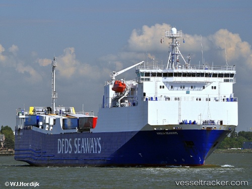
 Blue Carrier 1
Current Status
Where is the vessel?
Blue Carrier 1 is currently in Near SYROS, based on AIS data received about 1h ago.
Latest AIS update:
Current position: 37.49659° N, 24.95599° E (Near SYROS)
Average speed (last 7 days): Loading…
Average speed (last 30 days): Loading…
Vessel profile: Blue Carrier 1 is a Ro Ro Cargo Ship with dimensions 143m x 23m.
This page combines live AIS, route history, probable destination signals, nearby traffic, and port activity for practical vessel monitoring.
The current position of vessel Blue Carrier 1 is 37.49659 lat / 24.95599 lng. Updated: 2026-04-09 01:58:57 UTCNearest reference points:
- Near MYKONOS OLD PORT
- Near Delos
- Near PISO LIVADI
Currently sailing under the flag of Greece ![]()
Blue Carrier 1 built in 2000 year
Deadweight:
4650 tDetails:
Live Vessel Blue Carrier 1 Analytics (details, animations, etc.)
Recent AIS points (UTC):
2026-04-08 17:46:08 UTC · 37.95236, 23.60629 · SOG 0 kn · COG 273°2026-04-08 20:12:56 UTC · 37.95235, 23.60629 · SOG 0 kn · COG 273°
2026-04-08 23:26:56 UTC · 37.54764, 24.11197 · SOG 16.4 kn · COG 108°
2026-04-09 01:58:57 UTC · 37.49659, 24.95599 · SOG 16.1 kn · COG 160°