 vesseltracker.com
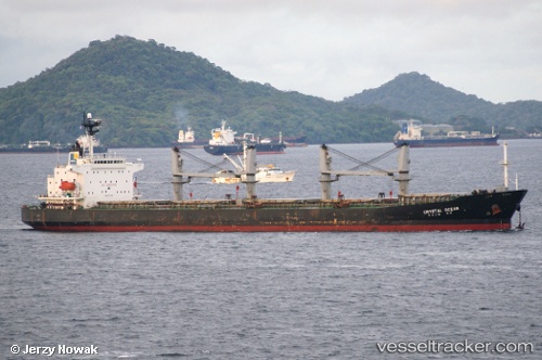
 HONESTAR
Current Status
Where is the vessel?
HONESTAR is currently in Near SHINAS, based on AIS data received less than 1h ago.
Latest AIS update:
Current position: 24.79685° N, 56.56812° E (Near SHINAS)
Average speed (last 7 days): Loading…
Average speed (last 30 days): Loading…
Vessel profile: HONESTAR is a Bulk Carrier with dimensions m x m.
This page combines live AIS, route history, probable destination signals, nearby traffic, and port activity for practical vessel monitoring.
The current position of vessel HONESTAR is 24.79685 lat / 56.56812 lng. Updated: 2026-04-20 23:58:43 UTCNearest reference points:
- 18 nm SE of SHINAS
- 17 nm SE of Shinas
- Near Fujairah
Currently sailing under the flag of Curacao ![]()
Details:
Live Vessel HONESTAR Analytics (details, animations, etc.)
Recent AIS points (UTC):
2026-04-20 19:42:42 UTC · 24.79668, 56.56774 · SOG 0 kn · COG 148°2026-04-20 22:17:03 UTC · 24.79680, 56.56799 · SOG 0 kn · COG 156°
2026-04-20 22:58:33 UTC · 24.79677, 56.56804 · SOG 0 kn · COG 158°
2026-04-20 23:58:43 UTC · 24.79685, 56.56812 · SOG 0 kn · COG 162°