 vesseltracker.com
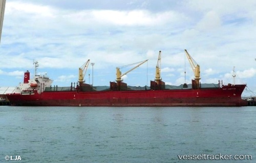
 GOLDEN ATLANTIC
Current Status
Where is the vessel?
GOLDEN ATLANTIC is currently in Near Djibouti, based on AIS data received less than 1h ago.
Latest AIS update:
Current position: 11.66738° N, 43.17493° E (Near Djibouti)
Average speed (last 7 days): Loading…
Average speed (last 30 days): Loading…
Vessel profile: GOLDEN ATLANTIC is a Bulk Carrier with dimensions 171m x 26m.
This page combines live AIS, route history, probable destination signals, nearby traffic, and port activity for practical vessel monitoring.
The current position of vessel GOLDEN ATLANTIC is 11.66738 lat / 43.17493 lng. Updated: 2026-04-01 13:48:23 UTCNearest reference points:
- Near Djibouti
Currently sailing under the flag of Panama ![]()
GOLDEN ATLANTIC built in 2000 year
Deadweight:
28599 tDetails:
Live Vessel GOLDEN ATLANTIC Analytics (details, animations, etc.)
Recent AIS points (UTC):
2026-04-01 08:22:43 UTC · 11.66667, 43.17333 · SOG 0 kn · COG -1°2026-04-01 09:42:23 UTC · 11.66752, 43.17485 · SOG 0 kn · COG 98°
2026-04-01 11:34:45 UTC · 11.66667, 43.17333 · SOG 0 kn · COG -1°
2026-04-01 13:48:23 UTC · 11.66738, 43.17493 · SOG 0 kn · COG 93°