 vesseltracker.com
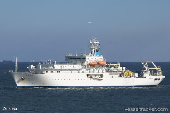
 Subaru
Current Status
Where is the vessel?
Subaru is currently in 37 nm S of Kikaishima, based on AIS data received about 6h ago.
Latest AIS update:
Current position: 27.70638° N, 129.98119° E (37 nm S of Kikaishima)
Average speed (last 7 days): Loading…
Average speed (last 30 days): Loading…
Vessel profile: Subaru is a Cable Layer with dimensions 123m x 20m.
This page combines live AIS, route history, probable destination signals, nearby traffic, and port activity for practical vessel monitoring.
The current position of vessel Subaru is 27.70638 lat / 129.98119 lng. Updated: 2026-04-20 19:07:00 UTCNearest reference points:
- 18 nm W of Koniya
Currently sailing under the flag of Philippines ![]()
Subaru built in 1999 year
Deadweight:
6843 tDetails:
Live Vessel Subaru Analytics (details, animations, etc.)
Recent AIS points (UTC):
2026-04-20 19:07:00 UTC · 27.70638, 129.98119 · SOG 11.8 kn · COG 232°2026-04-20 19:07:00 UTC · 27.70638, 129.98119 · SOG 11.8 kn · COG 232°
2026-04-20 19:07:00 UTC · 27.70638, 129.98119 · SOG 11.8 kn · COG 232°
2026-04-20 19:07:00 UTC · 27.70638, 129.98119 · SOG 11.8 kn · COG 232°