 vesseltracker.com
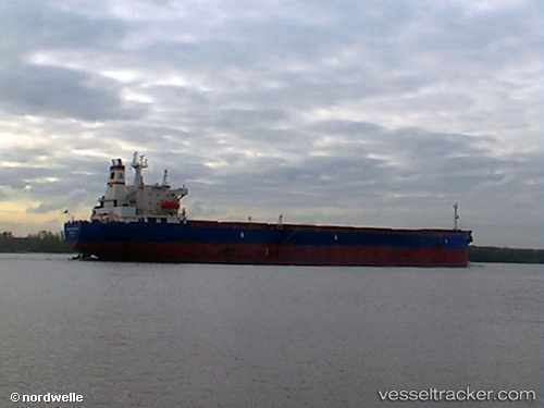
 Jin Ning 7
Current Status
Where is the vessel?
Jin Ning 7 is currently in Near Fangcheng, based on AIS data received about 1h ago.
Latest AIS update:
Current position: 21.56301° N, 108.35536° E (Near Fangcheng)
Average speed (last 7 days): Loading…
Average speed (last 30 days): Loading…
Vessel profile: Jin Ning 7 is a Bulk Carrier with dimensions 225m x 225m.
This page combines live AIS, route history, probable destination signals, nearby traffic, and port activity for practical vessel monitoring.
The current position of vessel Jin Ning 7 is 21.56301 lat / 108.35536 lng. Updated: 2026-04-05 11:22:01 UTCNearest reference points:
- Near Fangcheng
- Near Qisha Pt
- Near Jiangshan Pt
Currently sailing under the flag of China ![]()
Jin Ning 7 built in 1999 year
Deadweight:
72893 tDetails:
Live Vessel Jin Ning 7 Analytics (details, animations, etc.)
Recent AIS points (UTC):
2026-04-05 05:55:00 UTC · 21.56298, 108.35537 · SOG 0 kn · COG 17°2026-04-05 07:49:59 UTC · 21.56296, 108.35539 · SOG 0 kn · COG 17°
2026-04-05 09:49:59 UTC · 21.56301, 108.35537 · SOG 0 kn · COG 17°
2026-04-05 11:22:01 UTC · 21.56301, 108.35536 · SOG 0 kn · COG 17°