 vesseltracker.com
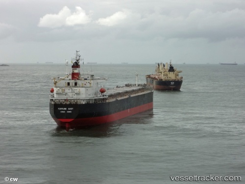
Tian Hao 17
Current StatusWhere is the vessel?
Tian Hao 17 is currently in Near ZHUHAI, based on AIS data received less than 1h ago.
Latest AIS update:
Current position: 21.95061° N, 113.20830° E (Near ZHUHAI)
Average speed (last 7 days): Loading…
Average speed (last 30 days): Loading…
Vessel profile: Tian Hao 17 is a Bulk Carrier with dimensions 32m x 225m.
This page combines live AIS, route history, probable destination signals, nearby traffic, and port activity for practical vessel monitoring.
The current position of vessel Tian Hao 17 is 21.95061 lat / 113.20830 lng. Updated: 2026-04-06 05:33:54 UTCNearest reference points:
- Near ZHUHAI
- Near Gaolan
- Near Doumen Pt
Details:
Live Vessel Tian Hao 17 Analytics (details, animations, etc.)
Recent AIS points (UTC):
2026-04-05 23:45:54 UTC · 21.95053, 113.20833 · SOG 0 kn · COG 38°2026-04-06 01:36:47 UTC · 21.95048, 113.20834 · SOG 0 kn · COG 38°
2026-04-06 03:33:54 UTC · 21.95060, 113.20833 · SOG 0 kn · COG 37°
2026-04-06 05:33:54 UTC · 21.95061, 113.20830 · SOG 0 kn · COG 37°