 vesseltracker.com
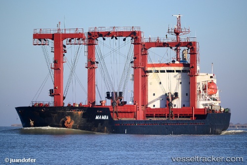
 Mamba B
Current Status
Where is the vessel?
Mamba B is currently in 34 nm NE of AL JUBAIL, based on AIS data received about 15h ago.
Latest AIS update:
Current position: 27.57322° N, 50.07088° E (34 nm NE of AL JUBAIL)
Average speed (last 7 days): Loading…
Average speed (last 30 days): Loading…
Vessel profile: Mamba B is a General Cargo Ship with dimensions 85m x 100m.
This page combines live AIS, route history, probable destination signals, nearby traffic, and port activity for practical vessel monitoring.
The current position of vessel Mamba B is 27.57322 lat / 50.07088 lng. Updated: 2026-04-10 07:02:28 UTCNearest reference points:
- 13 nm NE of AL JUBAIL
- 44 nm NE of Ras Al Khair
- Near Al Jubayl
Currently sailing under the flag of Panama ![]()
Details:
Live Vessel Mamba B Analytics (details, animations, etc.)
Recent AIS points (UTC):
2026-04-10 02:23:44 UTC · 27.57345, 50.07086 · SOG 0 kn · COG -1°2026-04-10 03:59:28 UTC · 27.57351, 50.07094 · SOG 0 kn · COG 97°
2026-04-10 06:08:31 UTC · 27.57331, 50.07075 · SOG 0 kn · COG 66°
2026-04-10 07:02:28 UTC · 27.57322, 50.07088 · SOG 0 kn · COG 65°