 vesseltracker.com
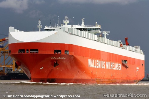
Talisman
Current StatusWhere is the vessel?
Talisman is currently in 91 nm SW of Santa Venera, based on AIS data received about 1h ago.
Latest AIS update:
Current position: 34.53500° N, 142.53333° E (91 nm SW of Santa Venera)
Average speed (last 7 days): Loading…
Average speed (last 30 days): Loading…
Vessel profile: Talisman is a Vehicles Carrier with dimensions 32m x 244m.
This page combines live AIS, route history, probable destination signals, nearby traffic, and port activity for practical vessel monitoring.
The current position of vessel Talisman is 34.53500 lat / 142.53333 lng. Updated: 2026-04-19 06:11:13 UTCNearest reference points:
- 12 nm E of CHOSHI
- Near OHARA
- Near KASHIMA
Details:
Live Vessel Talisman Analytics (details, animations, etc.)
Recent AIS points (UTC):
2026-04-18 23:59:13 UTC · 34.72167, 140.94333 · SOG 13 kn · COG -1°2026-04-19 02:30:15 UTC · 34.65170, 141.60017 · SOG 12 kn · COG -1°
2026-04-19 03:56:13 UTC · 34.60167, 141.94833 · SOG 11 kn · COG -1°
2026-04-19 06:11:13 UTC · 34.53500, 142.53333 · SOG 13 kn · COG -1°