 vesseltracker.com
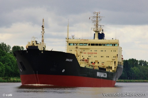
 NATIG ALIYEV
Current Status
Where is the vessel?
NATIG ALIYEV is currently in 48 nm NW of Kenitra, based on AIS data received about 1h ago.
Latest AIS update:
Current position: 34.76083° N, 7.35283° W (48 nm NW of Kenitra)
Average speed (last 7 days): Loading…
Average speed (last 30 days): Loading…
Vessel profile: NATIG ALIYEV is a Oil Products Tanker with dimensions m x m.
This page combines live AIS, route history, probable destination signals, nearby traffic, and port activity for practical vessel monitoring.
The current position of vessel NATIG ALIYEV is 34.76083 lat / -7.35283 lng. Updated: 2026-04-20 08:01:52 UTCNearest reference points:
- Near Mohammedia
- 45 nm W of Gibraltar
- 54 nm N of El Jadida
Currently sailing under the flag of Saint Kitts and Nevis ![]()
Details:
Live Vessel NATIG ALIYEV Analytics (details, animations, etc.)
Recent AIS points (UTC):
2026-04-20 04:19:42 UTC · 34.28662, -7.98579 · SOG 11.5 kn · COG 52°2026-04-20 06:06:01 UTC · 34.51069, -7.67974 · SOG 11.3 kn · COG 49°
2026-04-20 07:15:21 UTC · 34.66005, -7.48180 · SOG 11.5 kn · COG 47°
2026-04-20 08:01:52 UTC · 34.76083, -7.35283 · SOG 11.5 kn · COG 46°