 vesseltracker.com
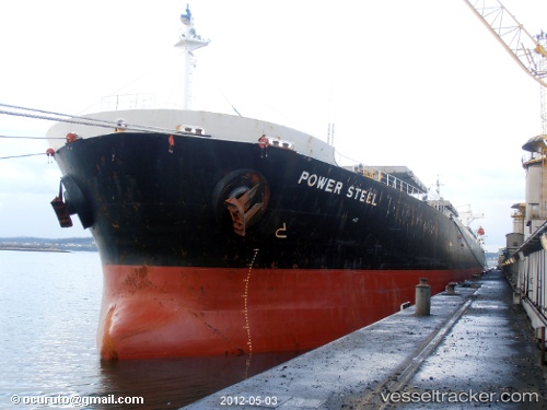
Heng Tong Hai
Current StatusWhere is the vessel?
Heng Tong Hai is currently in Near ZHANJIANG, based on AIS data received less than 1h ago.
Latest AIS update:
Current position: 21.31370° N, 110.41288° E (Near ZHANJIANG)
Average speed (last 7 days): Loading…
Average speed (last 30 days): Loading…
Vessel profile: Heng Tong Hai is a Bulk Carrier with dimensions 32m x 225m.
This page combines live AIS, route history, probable destination signals, nearby traffic, and port activity for practical vessel monitoring.
The current position of vessel Heng Tong Hai is 21.31370 lat / 110.41288 lng. Updated: 2026-04-08 19:33:02 UTCNearest reference points:
- Near Zhanjiang Pt
- Near Wuchuan
- Near Naozhou
Details:
Live Vessel Heng Tong Hai Analytics (details, animations, etc.)
Recent AIS points (UTC):
2026-04-08 13:27:18 UTC · 21.31333, 110.41167 · SOG 0 kn · COG -1°2026-04-08 15:24:17 UTC · 21.31333, 110.41167 · SOG 0 kn · COG -1°
2026-04-08 17:20:54 UTC · 21.31367, 110.41288 · SOG 0 kn · COG 350°
2026-04-08 19:33:02 UTC · 21.31370, 110.41288 · SOG 0 kn · COG 350°