 vesseltracker.com
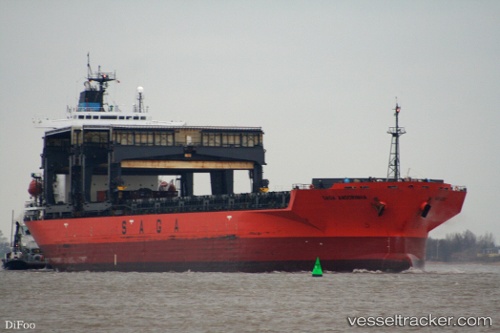
 SAGA ANDORINHA
Current Status
Where is the vessel?
SAGA ANDORINHA is currently in 203 nm E of Ramalde, based on AIS data received less than 1h ago.
Latest AIS update:
Current position: 39.97911° S, 4.47919° W (203 nm E of Ramalde)
Average speed (last 7 days): Loading…
Average speed (last 30 days): Loading…
Vessel profile: SAGA ANDORINHA is a General Cargo with dimensions m x m.
This page combines live AIS, route history, probable destination signals, nearby traffic, and port activity for practical vessel monitoring.
The current position of vessel SAGA ANDORINHA is -39.97911 lat / -4.47919 lng. Updated: 2026-03-29 11:36:38 UTCCurrently sailing under the flag of Bahamas ![]()
Details:
Live Vessel SAGA ANDORINHA Analytics (details, animations, etc.)
Recent AIS points (UTC):
2026-03-29 05:53:11 UTC · -39.92545, -5.90019 · SOG 11.4 kn · COG 97°2026-03-29 08:23:17 UTC · -39.95127, -5.29138 · SOG 11.7 kn · COG 95°
2026-03-29 09:54:58 UTC · -39.95776, -4.90935 · SOG 11.7 kn · COG 96°
2026-03-29 11:36:38 UTC · -39.97911, -4.47919 · SOG 11.3 kn · COG 99°