 vesseltracker.com
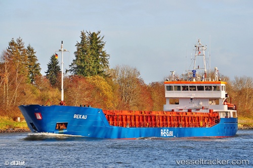
 HAV VESTLANDIA
Current Status
Where is the vessel?
HAV VESTLANDIA is currently in 28 nm NE of Bruray, Out Skerries, based on AIS data received about 1h ago.
Latest AIS update:
Current position: 60.60500° N, 0.11667° E (28 nm NE of Bruray, Out Skerries)
Average speed (last 7 days): Loading…
Average speed (last 30 days): Loading…
Vessel profile: HAV VESTLANDIA is a General Cargo Ship with dimensions 88m x 13m.
This page combines live AIS, route history, probable destination signals, nearby traffic, and port activity for practical vessel monitoring.
The current position of vessel HAV VESTLANDIA is 60.60500 lat / 0.11667 lng. Updated: 2026-03-28 02:01:59 UTCNearest reference points:
- 10 nm N of Leadon
Currently sailing under the flag of Faroe Islands ![]()
HAV VESTLANDIA built in 2005 year
Deadweight:
3701 tDetails:
Live Vessel HAV VESTLANDIA Analytics (details, animations, etc.)
Recent AIS points (UTC):
2026-03-27 20:01:59 UTC · 60.19833, 1.41333 · SOG 7 kn · COG -1°2026-03-27 21:28:58 UTC · 60.29667, 1.10833 · SOG 7 kn · COG -1°
2026-03-27 23:34:58 UTC · 60.44833, 0.63833 · SOG 7 kn · COG -1°
2026-03-28 02:01:59 UTC · 60.60500, 0.11667 · SOG 7 kn · COG -1°