 vesseltracker.com
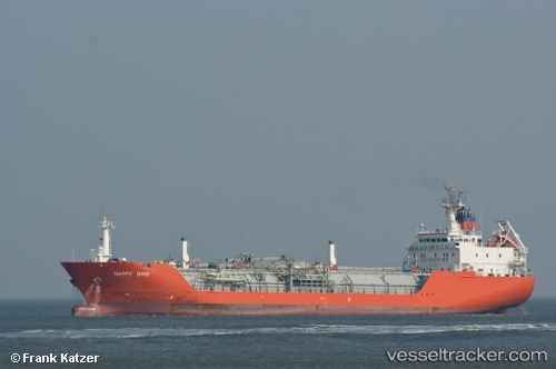
 AQU SPIRIT
Current Status
Where is the vessel?
AQU SPIRIT is currently in Near JAIGAD, based on AIS data received about 1h ago.
Latest AIS update:
Current position: 17.20961° N, 73.10825° E (Near JAIGAD)
Average speed (last 7 days): Loading…
Average speed (last 30 days): Loading…
Vessel profile: AQU SPIRIT is a Lpg Tanker with dimensions m x m.
This page combines live AIS, route history, probable destination signals, nearby traffic, and port activity for practical vessel monitoring.
The current position of vessel AQU SPIRIT is 17.20961 lat / 73.10825 lng. Updated: 2026-04-18 22:04:02 UTCNearest reference points:
- Near JAIGAD
- 49 nm W of Pernem
- Near Mumbai
Details:
Live Vessel AQU SPIRIT Analytics (details, animations, etc.)
Recent AIS points (UTC):
2026-04-18 15:54:12 UTC · 17.21083, 73.10888 · SOG 0 kn · COG 271°2026-04-18 17:58:03 UTC · 17.21026, 73.10883 · SOG 0 kn · COG 299°
2026-04-18 19:37:00 UTC · 17.20976, 73.10841 · SOG 0 kn · COG 325°
2026-04-18 22:04:02 UTC · 17.20961, 73.10825 · SOG 0 kn · COG 335°