 vesseltracker.com
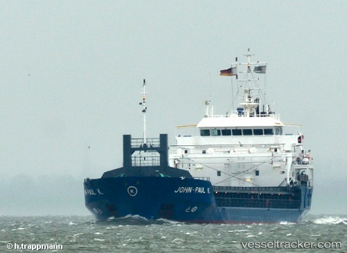
 ALEXANDRA S
Current Status
Where is the vessel?
ALEXANDRA S is currently in Near Beloslav, based on AIS data received less than 1h ago.
Latest AIS update:
Current position: 43.19152° N, 27.65700° E (Near Beloslav)
Average speed (last 7 days): Loading…
Average speed (last 30 days): Loading…
Vessel profile: ALEXANDRA S is a General Cargo with dimensions m x m.
This page combines live AIS, route history, probable destination signals, nearby traffic, and port activity for practical vessel monitoring.
The current position of vessel ALEXANDRA S is 43.19152 lat / 27.65700 lng. Updated: 2026-04-16 01:24:54 UTCNearest reference points:
- Near Beloslav
- Near Ignatievo
- Near Varna
Currently sailing under the flag of Bahamas ![]()
Details:
Live Vessel ALEXANDRA S Analytics (details, animations, etc.)
Recent AIS points (UTC):
2026-04-15 20:18:50 UTC · 43.18941, 27.76775 · SOG 8.1 kn · COG 273°2026-04-15 21:42:52 UTC · 43.19148, 27.65704 · SOG 0 kn · COG 297°
2026-04-15 23:25:50 UTC · 43.19152, 27.65703 · SOG 0 kn · COG 297°
2026-04-16 01:24:54 UTC · 43.19152, 27.65700 · SOG 0 kn · COG 297°