 vesseltracker.com
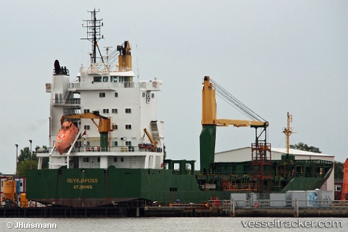
 ILHA DA MADEIRA
Current Status
Where is the vessel?
ILHA DA MADEIRA is currently in Near Ponta Delgada, based on AIS data received about 1h ago.
Latest AIS update:
Current position: 37.73541° N, 25.66696° W (Near Ponta Delgada)
Average speed (last 7 days): Loading…
Average speed (last 30 days): Loading…
Vessel profile: ILHA DA MADEIRA is a General Cargo with dimensions m x m.
This page combines live AIS, route history, probable destination signals, nearby traffic, and port activity for practical vessel monitoring.
The current position of vessel ILHA DA MADEIRA is 37.73541 lat / -25.66696 lng. Updated: 2026-04-21 11:32:40 UTCNearest reference points:
- Near Praia Da Vitoria
- 48 nm S of Villa Do Porto
- 81 nm SW of Matillas
Currently sailing under the flag of Portugal ![]()
Details:
Live Vessel ILHA DA MADEIRA Analytics (details, animations, etc.)
Recent AIS points (UTC):
2026-04-21 07:12:13 UTC · 37.73539, -25.66531 · SOG 0 kn · COG 94°2026-04-21 08:05:31 UTC · 37.73540, -25.66530 · SOG 0 kn · COG 94°
2026-04-21 10:08:32 UTC · 37.73541, -25.66690 · SOG 0 kn · COG 94°
2026-04-21 11:32:40 UTC · 37.73541, -25.66696 · SOG 0 kn · COG 94°